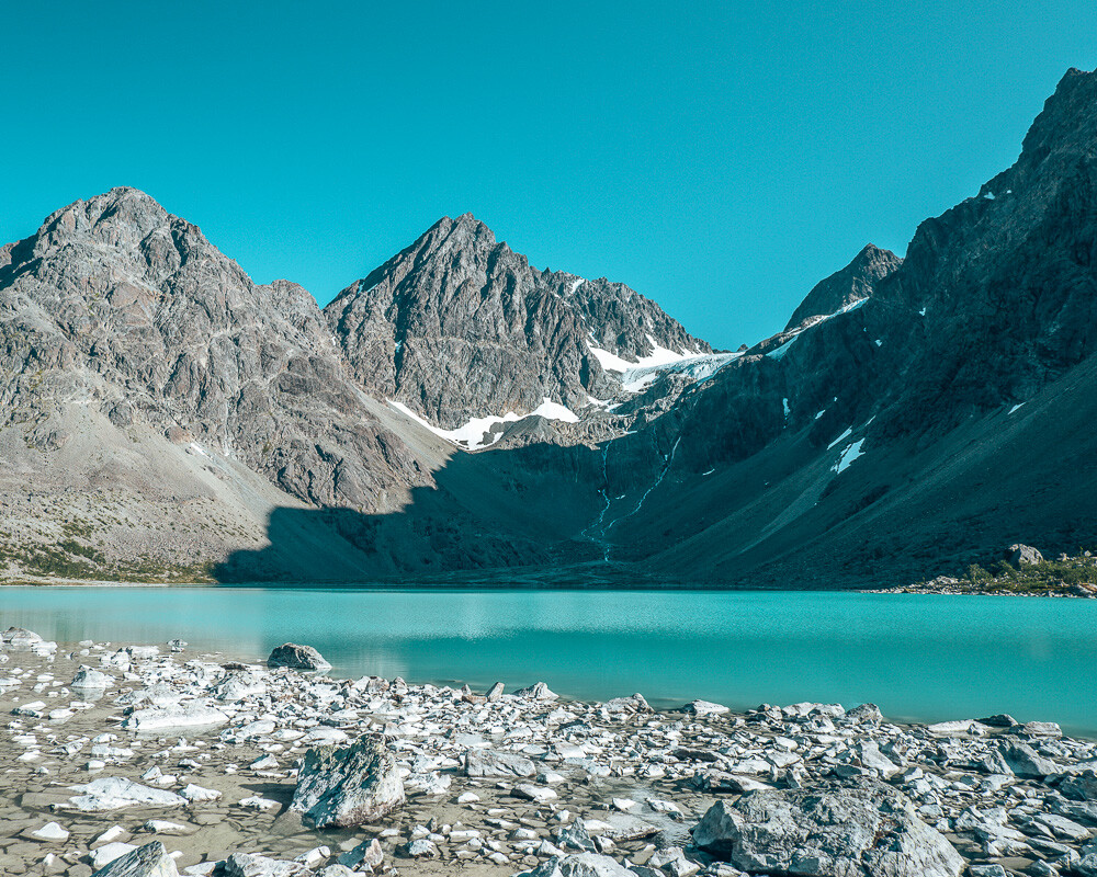
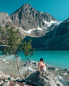
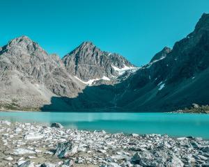
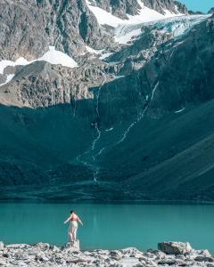
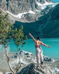
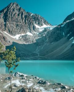
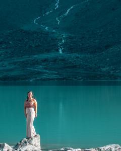
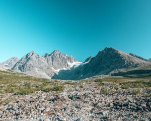
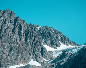
Lonely planet picked the Blåvatnet (Blåisvatnet) Trail as one of the highlights in Northern Norway. And after hiking back and forth to the blue lake, I agree with this choice. It is such a beautiful place to visit! Even though the hike can be quite crowded, you can easily find a quiet spot at the lake to enjoy the view of the glacier. It is situated in the Lyngen Alps on the Lyngenfjord. The hike is relatively flat for the area and suitable for all ages, if you are able to walk on uneven ground. Read more about this amazing hike in this blog post.
Blåvatnet hike need to know
Practical Information for the Blåvatnet Trail
At the start of the popular Blåvatnet (Blåisvatnet) hike there is a big parking area for cars and campers. It is a paid parking area for 254 NOK a day. You need to use the EasyPark App to pay for your parking. This is an easy-to-use application where you can start and end your parking time, and it is automatically charged with your card. The app makes sure that you will only pay for the hours that you parked at the location.
The hike will take around 3 hours return, therefore it is important to take enough water with you. There is no shade on the entire trail, and it can be very hot on a sunny day. Take an average of 1L per person to be sure to have enough. Pack a snack for when you arrive at the lake, or take your lunch with you.
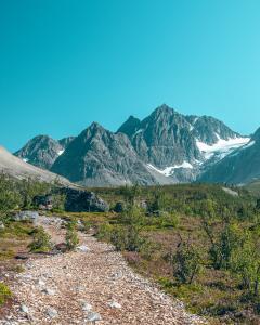
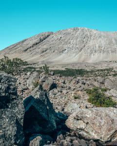
The path towards the blue lake needs good hiking shoes, because 3/4 of the trail is on loose stones. It is easy to sprain your ankle when you do not wear proper shoes. The incline of the path is very small and there are no steep drop-offs, which makes it safe for kids as well.
What to expect on the hike
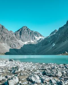
The hike towards the blue lake is good for all ages. It takes approximately 3 hours return with a break at the lake. The path is well maintained at the beginning, until you have to cross a small river. It can be a little muddy, and then you get to the loose stones. From this point, it will take you approximately 1h to get to the lake. This part is why I advise you to wear good hiking shoes, otherwise you could easily sprain your ankle.
To make sure you follow the trail, watch out for the red colored stones. The red stones will lead you to the lake. The end of the track consists of climbing across bigger stones until you reach the lake. At the lake, you will find multiple places to sit down and enjoy the view. You can decide to walk a little further to the right to have a more private area to sit down at the lake.
Did you know that……
When you purchase through my links, I will receive a small fee. You still pay the same, and I will donate 50% of all these earnings to charity. Start donating!
Find your accommodation here. And be part of the Tasty Travel Life community that donates for free.
Where is this popular Blåvatnet Trail ?
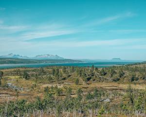
The Blåvatnet (Blåisvatnet) trail is on the Lyngenfjord close to Tromsø. It lays in the Lyngen Alps, a beautiful part of Northern Norway. Here you can find many more hikes, mountains, glaciers and valleys to explore. This area is definitely worth a visit when you are in northern Norway!
If you see this after your page is loaded completely, leafletJS files are missing.
