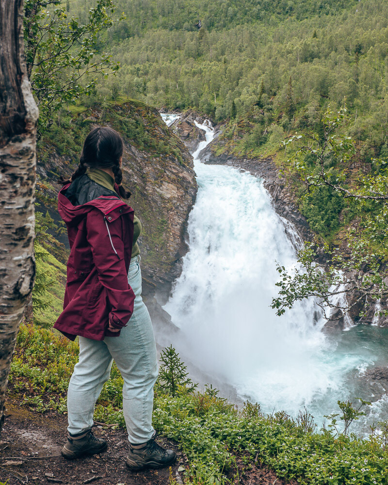
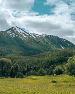
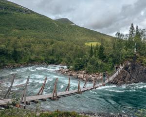
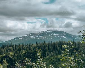
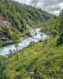
The Bredekrunden hike is one of the beautiful hikes in the Saltfjellet-Svartisen National Park. It will take you over 4 swing bridges and gives you amazing views of the waterfall and mountains. Find out more about this hike now.
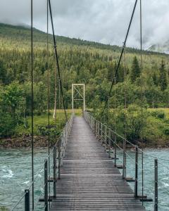
Bredekrunden hike what to know
What is the difficulty of the hike
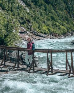
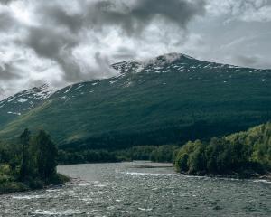
This beautiful hike that takes you through the Saltfjellet-Svartisen Park is 9 km long. It has an elevation gain of 435 meter and took us 4 hours to complete. You will cross 4 swing bridges on this beautiful hike. This hike is doable for all ages, but it has some steep drop-offs and incline/declines, which can be tricky with young children. The path will become very slippery and muddy after rain. In winter, the path can become snowy, and the difficulty will be high.
What to bring on the Bredekrunden hike
For the Bredekrunden hike, it is useful to bring the following items.
- Hiking shoes; This is definitely a must! The path is steep, uneven and muddy after rain. Do not try this without proper shoes.
- Hiking sticks; If you have hiking sticks, it will be useful to bring these. There are some steep declines. It is not a must to have these, but it can be helpful.
- Water; Bring at least 1L per person.
- Snacks; Definitely one of the important things on a hike. Bring some fruits, nuts or another snack.
- EHBO-kit; This is important for the hike, because of the difficulty it is useful to bring this, just in case something happens to you or someone else on the trail.
- Camera; Don’t forget your camera to capture the beautiful landscape.
- Phone; Bring your phone to call in an emergency. This trail is less touristic, so you will probably not see many, if any other persons.
Did you know that……
When you purchase through my links, I will receive a small fee. You still pay the same, and I will donate 50% of all these earnings to charity. Start donating!
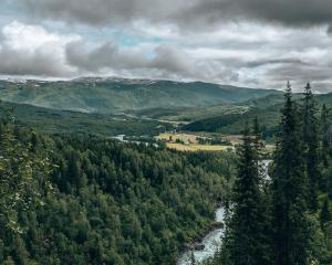
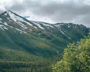
Preview of the hike
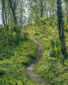
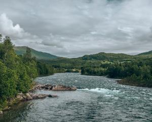
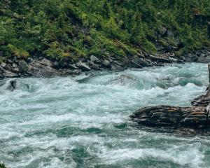
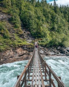
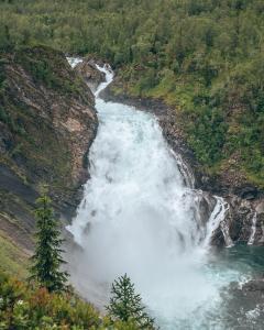
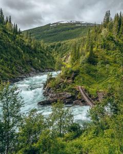
The hike will start with a beautiful bridge and short walk through the forest. Then you will climb up the hill and just before the sign of the national park, you will have a beautiful view of the river on the right. You will continue climbing further up the hill and will come to some less steep paths. You will come to a sign that shows the loop track, but also another track towards Granneset fjellgård. If you follow the other track for approximately 100 m, you will see a small path to the left towards a beautiful viewpoint of the waterfall. After the viewpoint, you can go further to the hut, or go back and continue the loop track.
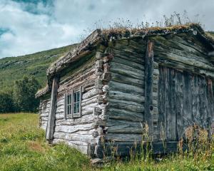
When you continue the loop, you will end up crossing the river over the second swing bridge. Be alert, there is a sign that the bridge is only made for one person at the time! This is also the case for the following bridges. You will end up at Bredek fjellgård, where you can sit down and rest for some time. You will continue the path and walk through a beautiful forest, with some small paths and muddy ground. Afterwards, you will cross another bridge. For one of the next bridges, you need to go down on a steep path that can be slippery. After crossing the bridge, you need to climb up again on the hill on a rocky climbing path. The last part of the trail will become easier to walk. For the full experience, you will have to walk it yourself, have fun !
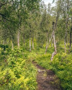
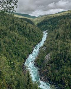
Where is the Bredekrunden hike and what is nearby?
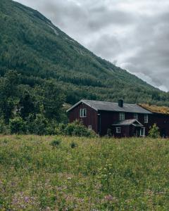
The Bredekrunden hike is just 40 min north of Mo i Rana next to the E6. It is just 25 min south on the E6 from the Polarsirkelen. It is a beautiful stop along the E6 and perfect to stay for the night with a camper.
If you see this after your page is loaded completely, leafletJS files are missing.
